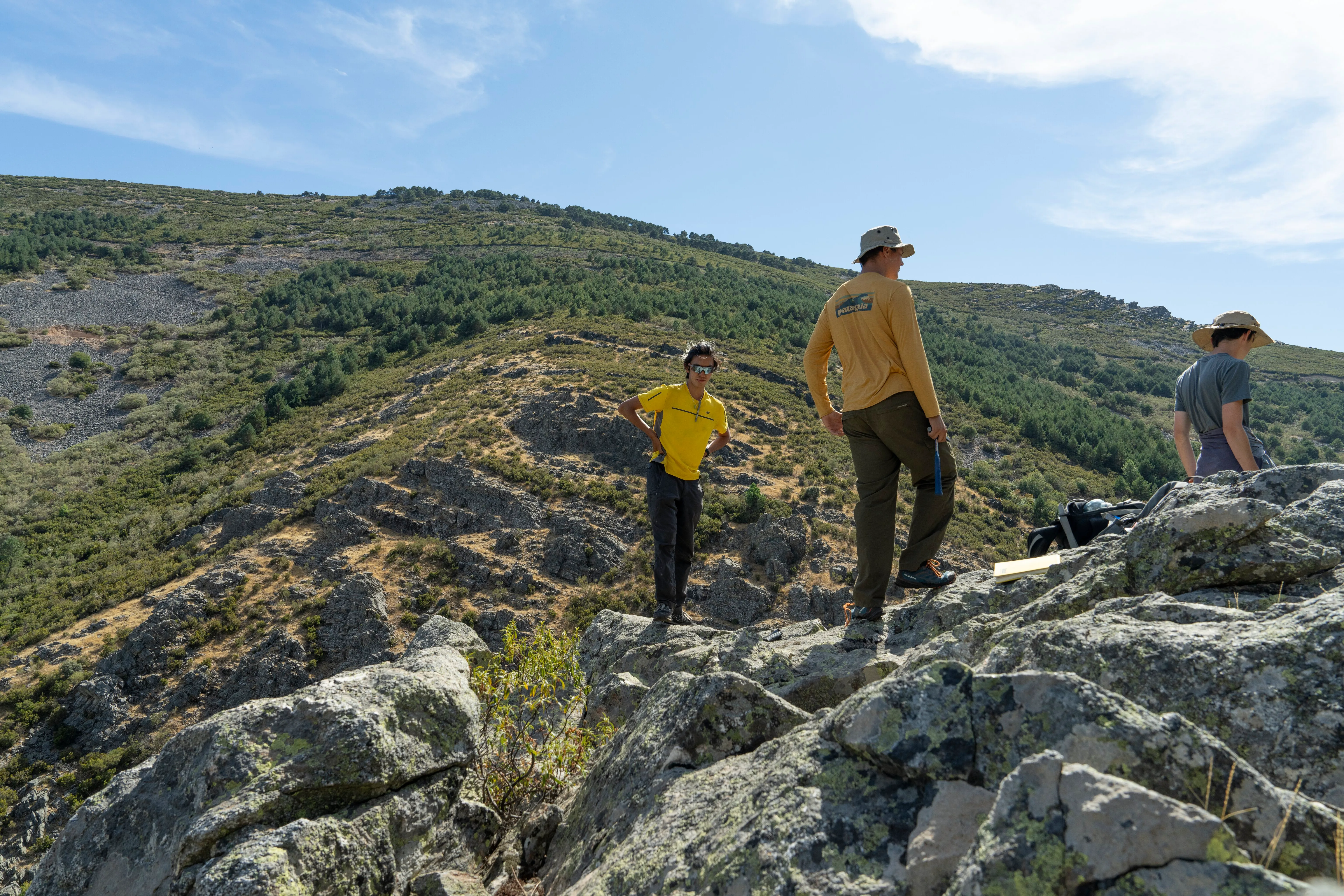
Part II Earth Sciences Mapping Project
A comprehensive geological mapping project undertaken as part of my Earth Sciences degree at Cambridge. This project involved detailed field mapping, structural analysis, and 3D geological modeling.
Project Resources
Geological Map
Complete geological map of the study area with detailed lithological units and structural features
View Resource →Project Report
Comprehensive report detailing methodology, findings, and interpretations from the field mapping project
View Resource →3D Model
Interactive 3D geological model showing the spatial relationships between different rock units
View Resource →Field Maps
Collection of detailed field maps and sketches created during the mapping campaign
View Resource →Project Overview
This mapping project represents the culmination of my Part II Earth Sciences studies, combining fieldwork skills with modern geological analysis techniques. The project involved:
- Detailed geological mapping at 1:10,000 scale
- Structural analysis and cross-section construction
- Rock sample collection and petrographic analysis
- Integration of field data with GIS and 3D modeling software
- Interpretation of geological history and tectonic evolution
The resources above provide access to the key outputs from this project, including maps, reports, and interactive 3D models that showcase the geological complexity of the study area.